Showing posts with label Remote Sensing. Show all posts

Sunday, July 17, 2011

DOQQ

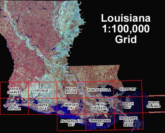
DOQQ's are aerial photos produced by the USGS that have been rectified to provide a high resolution and combines the image characteristics of a photograph with the geometrics qualities of a map. This DOQQ utilizes the near-infrared bandwidth and allows for a detailed picture of Louisiana's vegetation, lakes and rivers.  

Saturday, July 16, 2011

LIDAR

LIDAR utilizes a laser beam to target and image a range of targets from only rocks to rain to detailed topographic details like this image. This image is a map of ground zero in NYC shortly after the attacks, it provides a high level of detail about the topographic information in the area.

Black and White Aerial Photograph

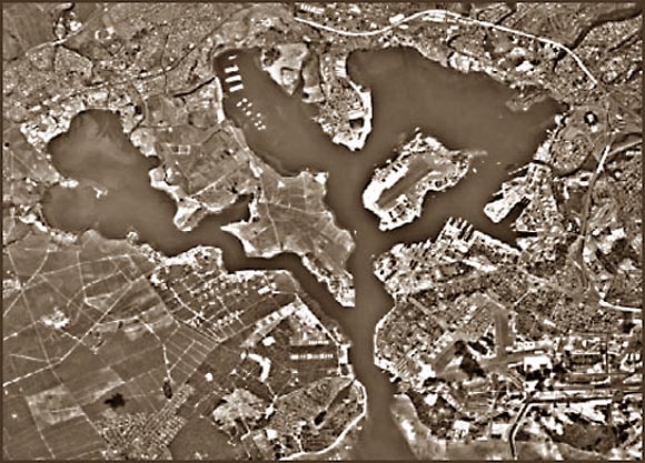
Black and white aerial photographs changed the face of remote sensing and has implications for urban planning to the other side of the spectrum, military actions. It is still a commonly used and useful tool to get a good visualization of an area to help one better meet whatever goals they have for that area. This photo depicts Pearl Harbor, HI, and outlines a researchers study of waste disposal sites in the area.

Infrared Aerial Photo

Aerial photos taken at the infrared light bandwidth is a useful tool for landscape ecology, a discipline that is concerned with land use change and those interactions in the ecosystem at large. Infrared light allows to easily discern between different types of vegetation and it appears in hues of red in this photography. When compared to other photos of the same area it allows for to compare the vegetation makeup and the flow and path of the river.

Sunday, June 26, 2011

Remote Sensing/ Topographic Map

This is an aerial photograph that acts as a topographic map. It depicts George Washington's Birthplace which is a national memorial. You can see the varying land uses around the park. This is useful for tourists planning a guide to the area to get a feel for what they might find.