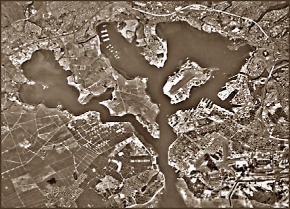
Black and white aerial photographs changed the face of remote sensing and has implications for urban planning to the other side of the spectrum, military actions. It is still a commonly used and useful tool to get a good visualization of an area to help one better meet whatever goals they have for that area. This photo depicts Pearl Harbor, HI, and outlines a researchers study of waste disposal sites in the area.
No comments:
Post a Comment