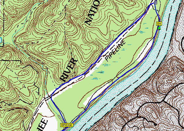
A digital raster graphic is a topographical map that has been scanned and then georeferenced to the contour of the Earth. This map utilizes contour lines to express the topography of the area surrounding the river's flood plane, the map also shows man made features such as the pipeline that runs along the marshland near the river.
No comments:
Post a Comment