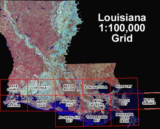
DOQQ's are aerial photos produced by the USGS that have been rectified to provide a high resolution and combines the image characteristics of a photograph with the geometrics qualities of a map. This DOQQ utilizes the near-infrared bandwidth and allows for a detailed picture of Louisiana's vegetation, lakes and rivers.
No comments:
Post a Comment